
Mountain Sabyinyo Hiking
Unforgettable Mountain Sabyinyo Hiking Guide – Conquer Uganda’s Three-Country Volcano
Mountain Sabyinyo Hiking is one of Uganda’s most dramatic high-altitude adventures, taking travellers through the beautiful forests and volcanic slopes of Mgahinga Gorilla National Park toward the jagged summit of Mount Sabyinyo in the Virunga Mountains. Rising to approximately 3,669 metres above sea level, Sabyinyo is instantly recognisable because of its serrated ridge and multiple peaks separated by deep ravines. The mountain sits at the meeting point of Uganda, Rwanda and the Democratic Republic of Congo, and Uganda Wildlife Authority highlights the extraordinary possibility of reaching the summit and standing at the point where the three countries meet.
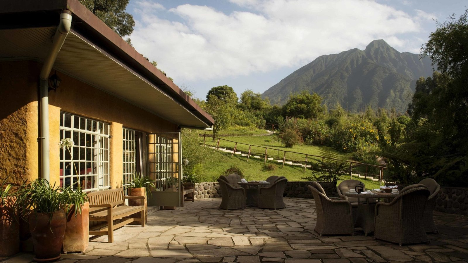
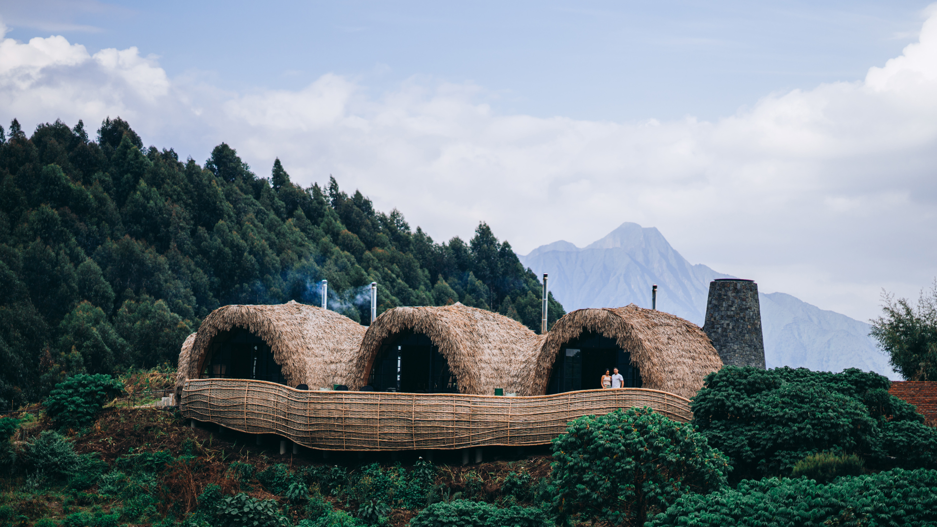
Unlike a gentle nature walk, Mountain Sabyinyo Hiking is a genuine mountain challenge. The trail becomes steep as altitude increases, and sections of the ascent involve fixed ladders positioned along steep terrain. The experience combines physical effort with some of southwestern Uganda’s finest scenery: bamboo forest, mist-covered ridges, volcanic peaks, Albertine Rift birdlife and sweeping views toward Rwanda, Congo and other parts of Uganda. UWA describes Mount Sabyinyo’s jagged crown as a series of summits divided by deep gorges and ravines, with steep sections and a fixed ladder forming part of the climb.
For NextGen Safaris travellers, Sabyinyo is especially attractive because the hike can be incorporated into a much larger southwestern Uganda adventure. You can combine the mountain with gorilla trekking safaris in Mgahinga, track rare golden monkeys through the bamboo forest, relax beside Lake Mutanda, continue toward gorilla trekking in Bwindi or travel onward into Queen Elizabeth National Park. Instead of being an isolated hiking excursion, Mount Sabyinyo can become one of the most memorable adventure days within a complete Uganda safari.
Where Is Mount Sabyinyo Located in Uganda?
Mount Sabyinyo lies inside Mgahinga Gorilla National Park in southwestern Uganda, close to Kisoro and the international borders with Rwanda and the Democratic Republic of Congo. Mgahinga protects the Ugandan slopes of three major Virunga volcanoes: Mount Muhavura, Mount Gahinga and Mount Sabyinyo. Although Mgahinga is Uganda’s smallest national park at approximately 33.7 square kilometres, it forms part of the much larger transboundary Virunga Conservation Area together with protected landscapes in Rwanda and Congo.
This location is central to the appeal of Mountain Sabyinyo Hiking. Most mountains belong visually to a single landscape, but Sabyinyo rises from a complex cross-border volcanic ecosystem. From higher points on a clear day, hikers can look toward Rwanda and the Democratic Republic of Congo while seeing surrounding volcanoes stretching across the Virunga chain. UWA notes that Mgahinga’s volcano summits provide views into Rwanda and Congo as well as toward the Rift Valley and Bwindi Impenetrable Forest.
The park is accessed through the Kisoro region, making it easy to combine Sabyinyo with other attractions in southwestern Uganda. Travellers staying around Kisoro or Lake Mutanda can reach Mgahinga without undertaking another cross-country transfer, while visitors travelling from Rwanda can also incorporate the region into a longer Uganda circuit. NextGen Safaris regularly builds Mgahinga into private primate journeys alongside golden monkey trekking and mountain gorilla experiences.
Why Mountain Sabyinyo Hiking Is One of Uganda’s Most Unique Mountain Adventures
The mountain’s shape immediately separates it from the other Virunga volcanoes. Sabyinyo means something similar to an old man’s worn teeth in the local language, referring to its deeply eroded and jagged summit profile. Instead of climbing toward one smooth volcanic cone, hikers progress through a sequence of ridges and peaks where the terrain becomes progressively steeper and more dramatic. The unusual outline makes Sabyinyo one of the most recognisable mountains in the Virunga landscape.
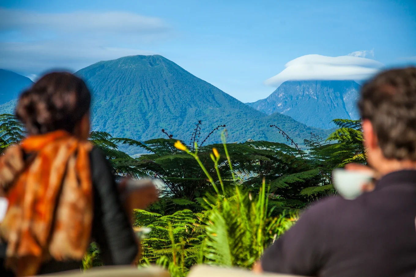
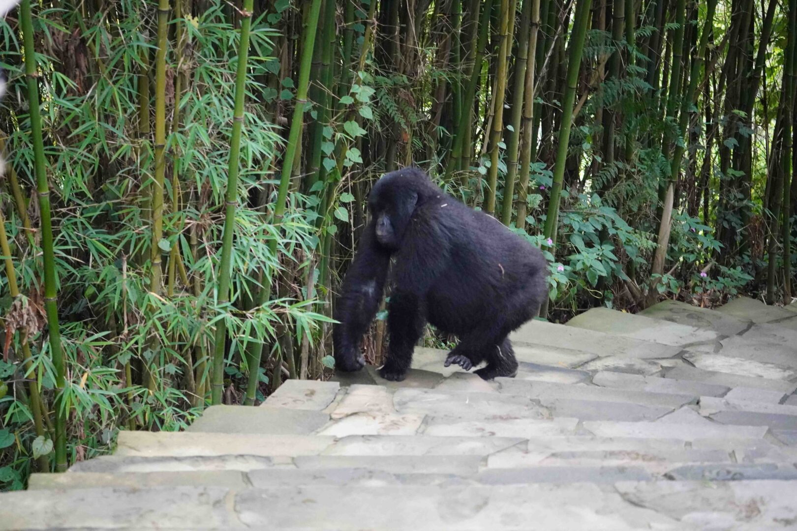
What makes Mountain Sabyinyo Hiking particularly memorable is the combination of conventional hiking and more adventurous ladder-assisted climbing. Wooden or fixed ladder sections help hikers negotiate parts of the steep ridge that would otherwise be extremely difficult on foot. These features make the experience feel very different from climbing Mount Gahinga or following a conventional forest trail. UWA specifically identifies steep and vertiginous sections and a fixed ladder as characteristics of the Sabyinyo ascent.
The final reward is the summit environment. At approximately 3,669 metres, trekkers can reach the point associated with the borders of Uganda, Rwanda and the Democratic Republic of Congo. UWA promotes this as the unusual privilege of standing in three countries at once. For adventurous travellers, that geographical distinction turns an already demanding hike into a genuine bucket-list experience.
What to Expect During Mountain Sabyinyo Hiking
Your Mountain Sabyinyo Hiking experience normally begins early at the Ntebeko area of Mgahinga Gorilla National Park. Uganda Wildlife Authority identifies the Ntebeko Visitor Centre as the trailhead for volcano climbing, nature walks, gorilla trekking and golden monkey activities. Hikers report for registration and a briefing before setting out with park personnel who know the mountain, trail conditions and protected-area regulations.
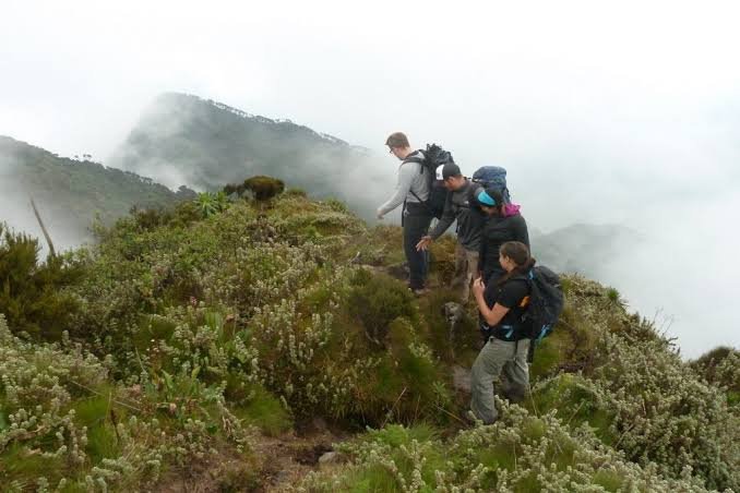
The early stages of the trail provide time for the body to adjust as the path moves through vegetation on the lower slopes. Mgahinga supports several ecological zones across its volcanic terrain, and the scenery changes noticeably as elevation increases. Bamboo becomes particularly important within the park and also provides habitat for golden monkeys, while higher elevations become cooler, wetter and increasingly exposed to changing mountain weather. Clouds can appear quickly even after a clear start, which is why waterproof layers should always remain inside the daypack.
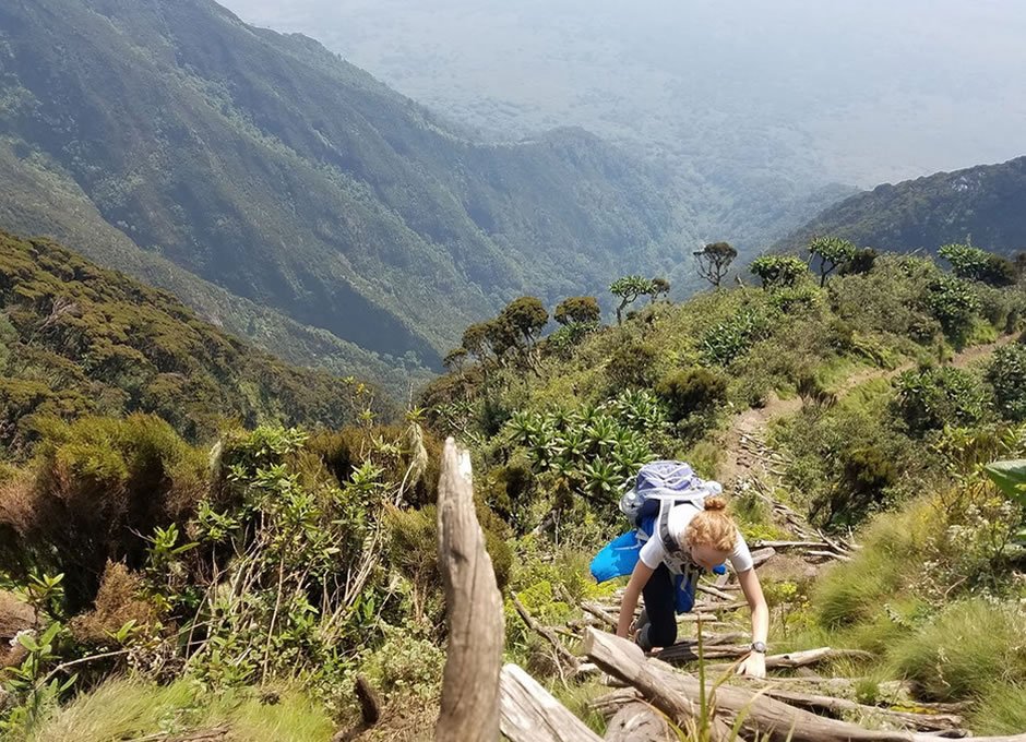
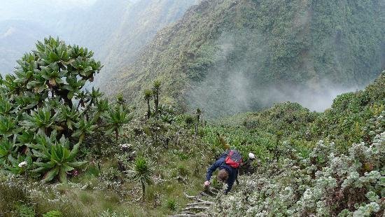
Higher on Sabyinyo, the nature of the climb changes substantially. The ridge becomes narrower and steeper, and hikers encounter the ladder sections for which the mountain is famous. This is where concentration becomes as important as fitness. The ascent should not be rushed, especially when conditions are damp. The reward is an increasingly expansive view across the Virunga landscape, with each successful ridge creating a stronger sense that you are leaving the forested world below and entering a rugged mountain environment
The Famous Sabyinyo Ladders and Mountain Ridges
The ladder sections are perhaps the most photographed feature of Mountain Sabyinyo Hiking. As the ridge becomes progressively steeper, fixed climbing aids help hikers negotiate terrain that would be extremely difficult using an ordinary trail. The ladders add excitement, but they also demand patience. Each person should allow enough space between themselves and the hiker ahead and follow the ranger’s instructions rather than trying to climb quickly for photographs.
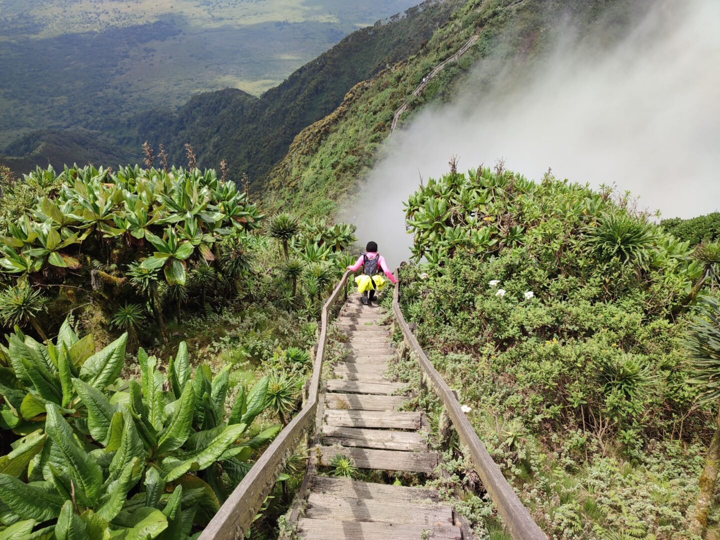
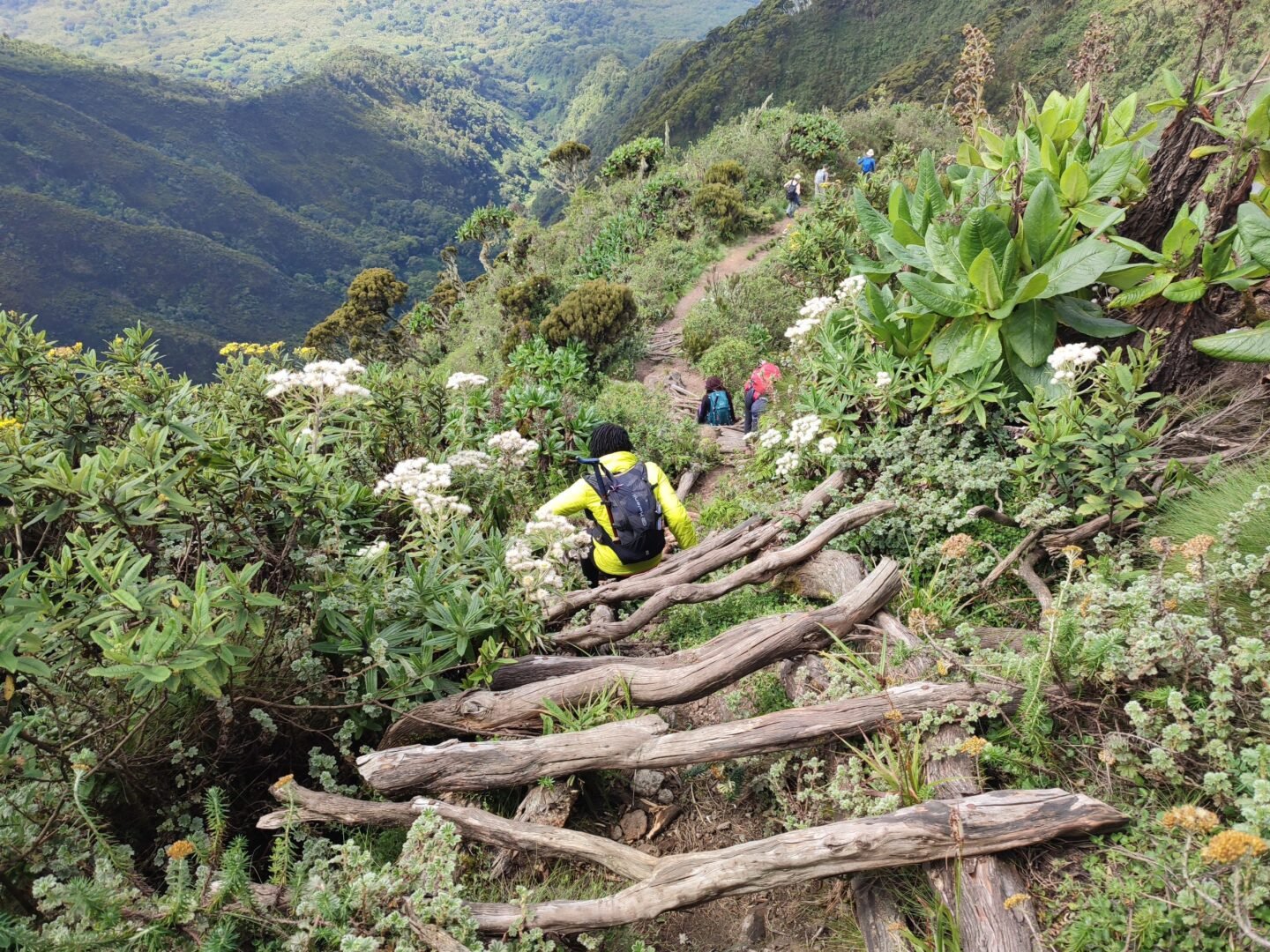
Rain makes these sections more challenging. Wood, roots, soil and vegetation can become slippery, while mist may reduce visibility along the ridge. This is one reason waterproof hiking boots with dependable grip are far more suitable than trainers. Lightweight gloves can also improve comfort and confidence when holding ladder rails or vegetation during the ascent.
Travellers who have a strong fear of heights should discuss the hike with NextGen Safaris before booking. The mountain is not technically comparable with specialist rock climbing, but some higher sections are exposed enough to feel uncomfortable for people who dislike steep drop-offs. Choosing Mount Gahinga or another hiking experience may be more enjoyable for travellers who want volcanic scenery without Sabyinyo’s ladder-assisted ridge sections.
Reaching the Summit Where Uganda, Rwanda and Congo Meet
The summit experience is the defining moment of Mountain Sabyinyo Hiking. UWA places Mount Sabyinyo at approximately 3,669 metres, below the 4,127-metre summit of neighbouring Mount Muhavura but considerably high enough to deliver a serious mountain environment. The mountain’s rugged summit area makes the achievement feel particularly satisfying because hikers have already negotiated a succession of steep ridges and ladders before reaching the highest point.
On favourable days, views open across the Virunga Conservation Area, creating a remarkable perspective over three neighbouring countries. Weather is never guaranteed, and cloud can sometimes hide the landscape completely. That does not make the climb unsuccessful. Mist moving through high vegetation, clouds crossing volcanic ridges and brief openings revealing distant valleys can be some of the most atmospheric moments of the entire hike.
The three-country summit is also a reminder that wildlife and ecosystems do not follow political borders. The Virunga mountains stretch across Uganda, Rwanda and Congo, with protected areas in all three countries contributing to the conservation of mountain gorillas and other species. Mgahinga itself directly adjoins Rwanda’s Volcanoes National Park and Congo’s Virunga National Park as part of the wider conservation landscape.
Wildlife and Birds During Mountain Sabyinyo Hiking
Although Mountain Sabyinyo Hiking is primarily booked as an adventure and landscape experience, the trail passes through an exceptionally biodiverse national park. Uganda Wildlife Authority lists more than 76 mammal species within Mgahinga, including mountain gorillas, golden monkeys, buffaloes, bush pigs and other forest wildlife. The park also has more than 180 recorded bird species, including Albertine Rift endemics.
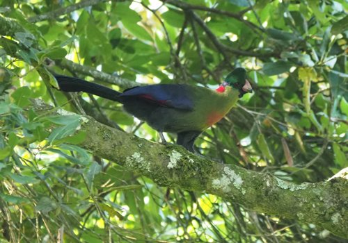
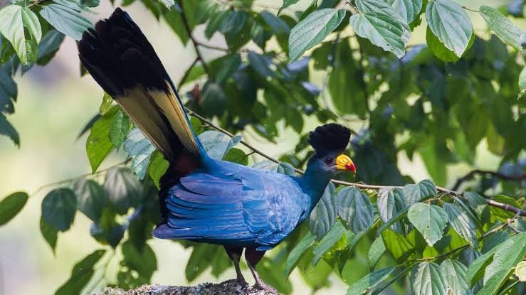
Birders have an additional reason to enjoy the Sabyinyo region. UWA identifies the Sabyinyo Gorge as prime habitat for the Rwenzori turaco and notes that the saddle between Gahinga and Sabyinyo and the Boundary Trail near Ntebeko are important birding areas. Serious birdwatchers may therefore want to spend an additional day around Mgahinga rather than expecting to concentrate fully on birds while attempting a demanding summit.
Wildlife sightings during the climb should be viewed as a bonus rather than guaranteed. The primary objective of the day is reaching the higher mountain ridges safely, and large mammals may remain deep inside forest vegetation. Travellers whose priority is primates should schedule separate activities such as golden monkey trekking in Mgahinga or a dedicated Mgahinga gorilla safari.
Best Time for Mountain Sabyinyo Hiking
Mountain Sabyinyo Hiking is possible throughout the year. Uganda Wildlife Authority lists Mgahinga as an all-year destination but notes two relatively drier periods, broadly around December to February and May to August, with June and July among the driest months. Wetter conditions are more typical around March–April and September–November, and mist and damp air remain normal characteristics of the mountain environment.
Drier months can make the ladder sections and steep paths easier because mud is generally reduced. They can also improve the possibility of wider views, although a dry-season visit never guarantees clear summits. The Virunga Mountains generate their own rapidly changing weather, so hikers should carry waterproof clothing regardless of the month appearing on the calendar.
The wetter months have their own appeal. Vegetation becomes exceptionally lush, cloud can create dramatic photography and the mountain can feel intensely wild. However, hikers should be prepared for more mud and slippery surfaces. Choosing when to climb should therefore depend on your wider Uganda safari dates rather than postponing an entire trip in search of supposedly perfect mountain weather.
What to Pack for Mountain Sabyinyo Hiking
Packing correctly can make the difference between an enjoyable Mountain Sabyinyo Hiking experience and an unnecessarily uncomfortable one. The most important item is a dependable pair of broken-in waterproof hiking boots with strong grip. The trail can become muddy, roots and rocks may be slippery, and the higher sections require secure footing. Avoid arriving with brand-new boots that have never been tested on a long walk.
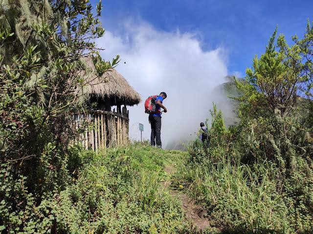
Wear long hiking trousers and breathable layers rather than heavy clothing from the start. Temperatures and exertion levels change dramatically during the ascent. A lightweight waterproof jacket should remain accessible rather than buried at the bottom of the backpack. Gloves are valuable both for warmth and for gripping ladders or vegetation, while a hat, sun protection and sunglasses remain useful whenever clouds open and the high-altitude sun becomes strong.
Carry adequate water, energy-rich snacks and a packed lunch according to your safari arrangements. A small daypack should be large enough for essentials but not so heavy that it becomes a burden on steep terrain. Camera equipment should also be kept realistic. A lightweight camera and versatile lens will usually be easier to manage than a large photography kit when climbing ladders and negotiating narrow ridges.
Mountain Sabyinyo Hiking Cost and Uganda Wildlife Authority Fees
Travellers planning Mountain Sabyinyo Hiking should budget for the official volcano-climbing activity fee as well as transport, accommodation and safari arrangements. Uganda Wildlife Authority’s published 2026–2028 tariff information lists Mgahinga volcano climbing at USD 100 for foreign non-residents, USD 80 for foreign residents and UGX 50,000 for East African citizens. Because conservation tariffs can be revised, NextGen Safaris confirms the applicable UWA charge again when preparing a final quotation.
The hiking fee is only one part of the total trip cost. Travellers coming from Entebbe or Kampala need road transport or a domestic flight to Kisoro, accommodation before and after the hike, meals and the services required for the wider itinerary. UWA states that Kampala to Kisoro is roughly a nine-hour road journey via Kabale, while scheduled or charter flights from Entebbe or Kajjansi to Kisoro take around one hour and ten minutes.
This is why Sabyinyo is usually most economical when incorporated into a broader southwestern Uganda itinerary rather than booked as an isolated excursion from Kampala. Combining the hike with Mgahinga gorillas, golden monkeys, Bwindi or Lake Mutanda spreads the transfer time across several memorable experiences and creates a much more complete safari.
Getting to Mgahinga for Mountain Sabyinyo Hiking
Most international travellers begin in Entebbe and then reach southwestern Uganda by road or domestic flight. The road journey passes through changing landscapes toward Kabale and Kisoro and can be incorporated into a longer Uganda safari rather than treated simply as transport. A private 4×4 also creates flexibility for overnight stops and combinations with Bwindi, Lake Bunyonyi, Queen Elizabeth National Park or Lake Mburo.
Flying to Kisoro is ideal for travellers with fewer days or those prioritising comfort. UWA currently notes that scheduled and charter services connect Entebbe International Airport or Kajjansi with Kisoro Airstrip, with a flight time of approximately one hour and ten minutes before a road transfer to Mgahinga. Weather can affect mountain airstrips, so itineraries should always contain realistic transfer margins.
Kisoro also provides access to Lake Mutanda, one of southwestern Uganda’s most beautiful lakes. NextGen Safaris describes it as lying beneath the Virunga volcanoes with views toward Sabyinyo, Gahinga and Muhavura. Spending a night beside the lake before or after the climb can provide the perfect contrast between a physically demanding mountain day and a quiet scenic retreat.
Combining Mountain Sabyinyo Hiking With Gorilla Trekking in Mgahinga
One of the strongest ways to build a Sabyinyo safari is to combine the hike with mountain gorillas. Uganda Wildlife Authority confirms that gorilla trekking in Uganda takes place in both Bwindi Impenetrable National Park and Mgahinga Gorilla National Park. Travellers can therefore remain within the same broad Virunga landscape while experiencing two completely different adventures.
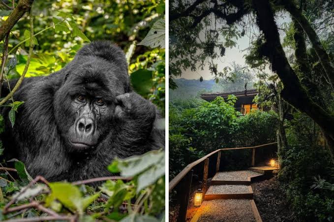
A gorilla day is demanding in its own way, but it differs from Mountain Sabyinyo Hiking because the duration and route depend on where the gorilla family is located. UWA notes that Uganda gorilla treks may last approximately two to seven hours before providing an hour with a habituated family. Sabyinyo, by contrast, is a deliberate ascent toward a fixed summit and involves sustained elevation gain.
NextGen Safaris’ gorilla trekking safaris in Mgahinga can therefore be extended with an additional Sabyinyo day. We recommend allowing recovery time where appropriate rather than scheduling multiple demanding activities without considering your fitness. Travellers whose main priority is gorillas can also explore gorilla trekking and gorilla habituation in Uganda for a wider primate-focused journey.
Combining Mountain Sabyinyo Hiking With Golden Monkey Trekking
Golden monkey trekking is one of the easiest activities to pair with Mountain Sabyinyo Hiking because both take place in Mgahinga Gorilla National Park but provide very different experiences. Golden monkeys are closely associated with the bamboo zone of the Virunga Mountains and are among the park’s signature species.
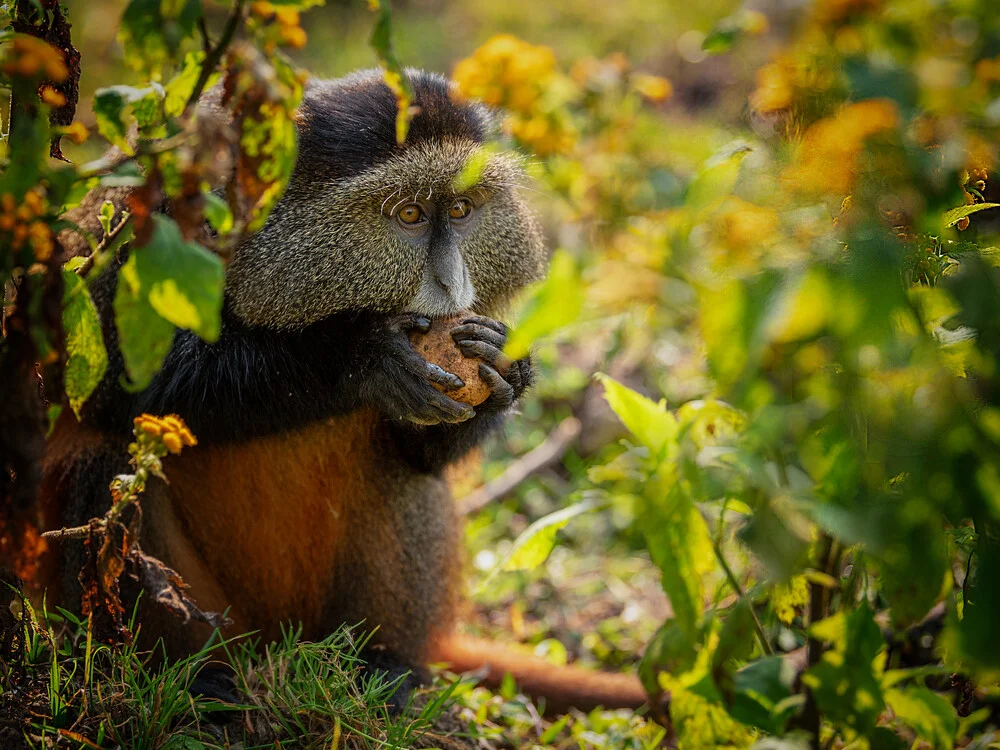
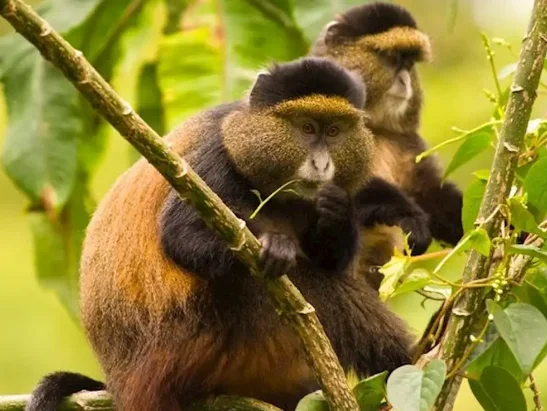
The golden monkey experience is generally more wildlife-focused and less physically extreme than reaching Sabyinyo’s summit. These colourful primates are active and social, moving quickly through bamboo as they feed and interact. Travellers who have already dedicated one day to a difficult mountain climb can therefore use the following day for a different form of forest adventure without repeating the same route.
NextGen Safaris offers a dedicated 1 Day Golden Monkey Trekking Mgahinga experience that can be incorporated into a longer itinerary. Combining Sabyinyo, golden monkeys and gorillas creates one of Uganda’s most concentrated adventure programmes: one destination, three dramatically different experiences and extraordinary Virunga scenery throughout.
Mountain Sabyinyo Hiking and Lake Mutanda
After climbing Sabyinyo, few extensions are more appealing than spending time beside Lake Mutanda. The lake lies near Kisoro beneath the Virunga Mountains and offers broad views toward the same volcanic landscape you have just explored on foot. Its islands, surrounding hills and quiet water create a perfect visual contrast to the steep mountain terrain.
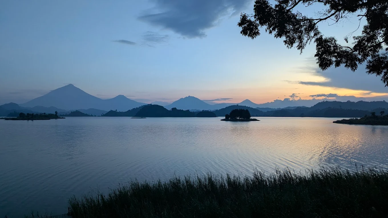
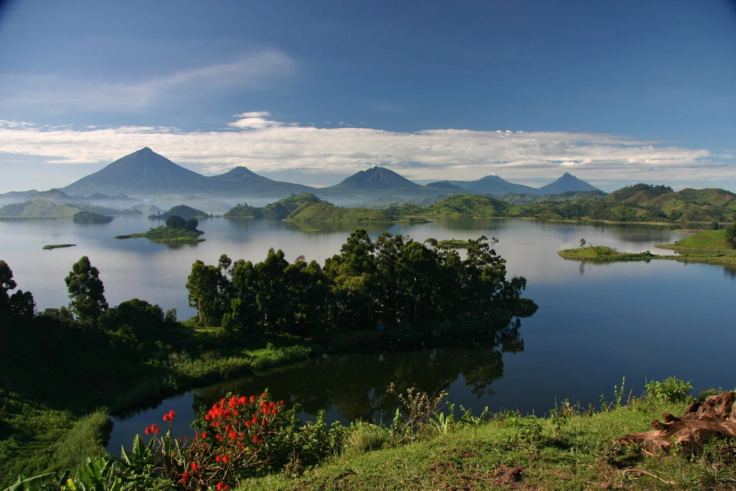
A Lake Mutanda stay also improves the overall pace of the safari. Instead of completing the climb and immediately beginning a long transfer, travellers can enjoy a relaxed evening, photography, canoeing or simply views of the volcanoes. On clear mornings, seeing Sabyinyo from below after standing on its summit the previous day gives the landscape an entirely different meaning.
Lake Mutanda can also connect the Mgahinga section of the trip with southern Bwindi. Travellers interested in a second gorilla experience can continue toward Rushaga or Nkuringo and add gorilla trekking in Bwindi. This creates an adventure-rich route through some of southwestern Uganda’s finest landscapes without unnecessary backtracking.
Mountain Sabyinyo Hiking Versus Mount Gahinga and Mount Muhavura
Mgahinga gives hikers three major volcanic options rather than only Sabyinyo. Mount Gahinga rises to approximately 3,474 metres and is the smallest of the three, with bamboo-covered slopes leading toward a swamp-filled crater. Mount Muhavura is the highest at around 4,127 metres, with a summit crater lake and extensive views across the Virunga chain.
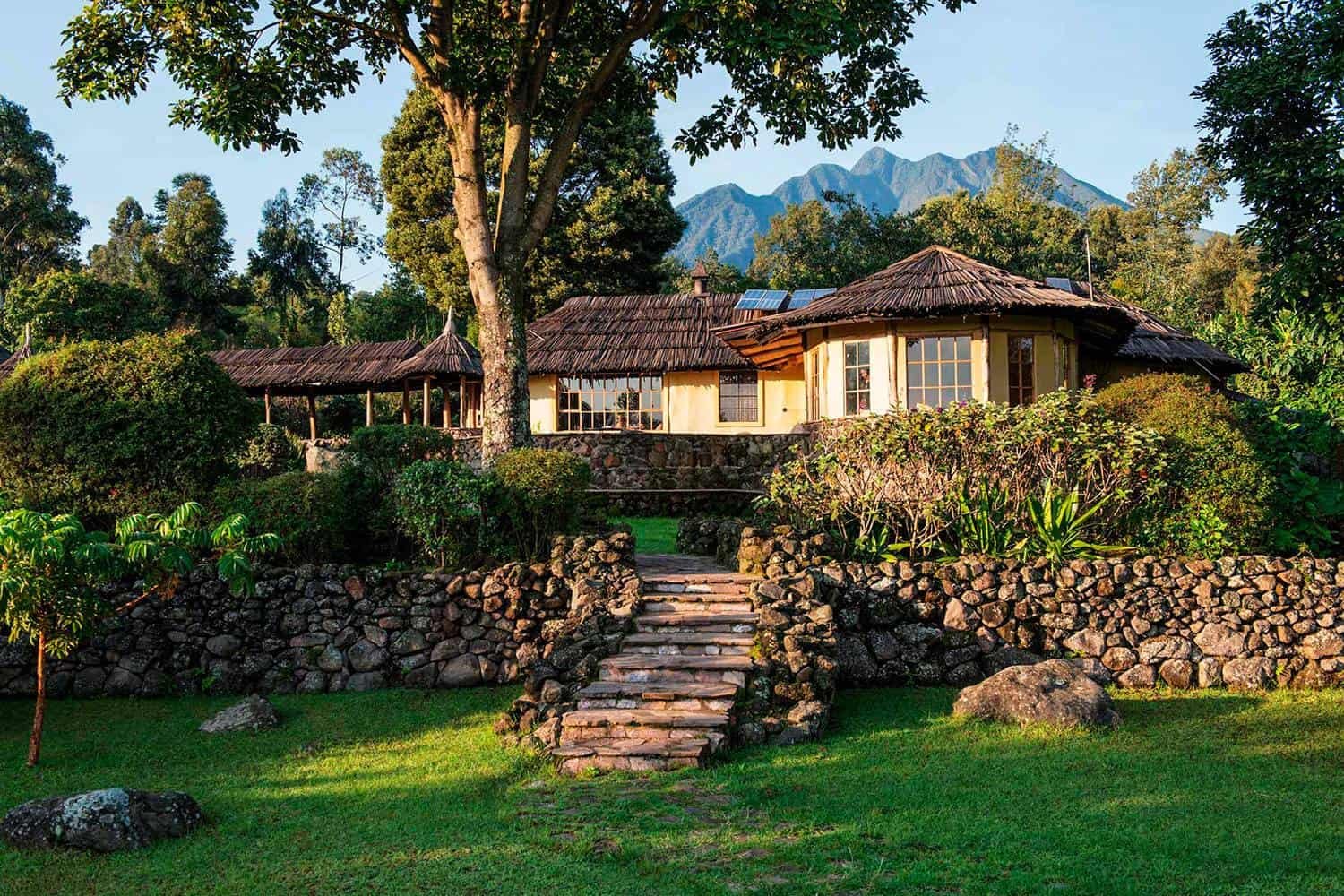
Mountain Sabyinyo Hiking is distinguished primarily by terrain and character. At 3,669 metres, it is not the highest peak, yet its deeply eroded ridges, multiple summits and ladder sections can make it feel more adventurous than its elevation suggests. Travellers interested in exposed ridge walking and an unusual summit geography often find Sabyinyo particularly memorable.
Mount Muhavura may appeal more to those who want the highest summit and a crater-lake reward, while Gahinga can suit hikers seeking a volcano experience without Sabyinyo’s most demanding ridge sections. There is no universally superior mountain. NextGen Safaris can recommend the option that best matches your fitness, fear of heights, available time and broader safari plans.
Who Should Choose Mountain Sabyinyo Hiking?
The hike is excellent for active travellers who want more than conventional wildlife viewing. If your ideal Uganda journey includes physical challenge, dramatic landscapes and the satisfaction of reaching a summit, Mountain Sabyinyo Hiking can become one of the defining experiences of the trip. It is particularly strong for hikers who may not want a multi-day Rwenzori expedition but still want a serious high-altitude adventure.
Photographers can also find the mountain highly rewarding. The ladders, mist, volcanic ridges and views across the Virunga landscape provide imagery unlike the wildlife portraits normally associated with Uganda. Because the hike requires concentration and carrying equipment over steep ground, photographers should travel light and prioritise a versatile camera setup.
Sabyinyo also works beautifully for repeat Uganda visitors. Someone who has already completed Bwindi gorilla trekking, Queen Elizabeth and Murchison Falls may discover a completely different side of the country through volcano hiking. It demonstrates that Uganda is not only a wildlife destination but also one of East Africa’s most diverse adventure landscapes.
How Many Days Do You Need for a Mountain Sabyinyo Safari?
A very short trip can place the Sabyinyo climb between an arrival night around Kisoro or Mgahinga and a departure the following day, but this approach leaves little flexibility. A better arrangement normally gives the region several nights so that weather, fatigue and other activities can be managed comfortably.
Four to five days can combine Mountain Sabyinyo Hiking, golden monkey trekking and Lake Mutanda, while an additional gorilla day creates a much richer Mgahinga experience. Travellers who want both Uganda gorilla regions can continue into Bwindi, where gorilla trekking or the gorilla habituation experience can extend the primate theme.
With seven days or more, Sabyinyo can become part of a genuine southwestern Uganda circuit rather than the sole reason for travel. Queen Elizabeth National Park, Lake Mburo, Bwindi and Mgahinga can be connected according to your interests. This broader structure usually provides better value for international travellers who have already invested in long-haul flights to East Africa.
Frequently Asked Questions About Mountain Sabyinyo Hiking
1. What Is Mountain Sabyinyo Hiking?
Mountain Sabyinyo Hiking is a challenging volcano-climbing experience in Mgahinga Gorilla National Park in southwestern Uganda. The hike takes visitors through the forested slopes of the Virunga Mountains toward the rugged summit of Mount Sabyinyo, which lies along the borders of Uganda, Rwanda and the Democratic Republic of Congo.
The mountain is famous for its jagged appearance, steep ridges and ladder-assisted sections. Uganda Wildlife Authority describes Sabyinyo as one of the three Virunga volcanoes protected within Mgahinga alongside Mount Gahinga and Mount Muhavura.
2. Where Is Mount Sabyinyo Located?
Mount Sabyinyo is located inside Mgahinga Gorilla National Park near Kisoro in southwestern Uganda. The park borders Rwanda’s Volcanoes National Park and Virunga National Park in the Democratic Republic of Congo, forming part of the wider transboundary Virunga Conservation Area.
Its location makes Mountain Sabyinyo Hiking easy to combine with Mgahinga gorilla trekking, golden monkey tracking, Lake Mutanda and gorilla trekking in Bwindi.
3. How High Is Mount Sabyinyo?
Mount Sabyinyo rises to approximately 3,645–3,669 metres above sea level, depending on the mapping or official tourism reference used. Uganda Wildlife Authority’s recent Mgahinga planning documents list the mountain at approximately 3,645 metres, while other UWA tourism material has commonly cited about 3,669 metres.
Regardless of the small difference between published measurements, Mountain Sabyinyo Hiking is a genuine high-altitude activity that requires good physical preparation and steady pacing.
4. How Difficult Is Mountain Sabyinyo Hiking?
Mountain Sabyinyo Hiking is considered a demanding hike because of the substantial elevation gain, steep terrain, potentially muddy trails and ladder-assisted sections near the higher ridges. You do not need specialist technical-mountaineering experience, but good general fitness and confidence on steep terrain are important.
Regular walking, hill climbing, stair training and cardiovascular exercise before travelling can make the experience much more comfortable. Travellers with a strong fear of exposed heights should discuss the climb before booking.
5. How Long Does Mountain Sabyinyo Hiking Take?
Mountain Sabyinyo is generally undertaken as a full-day hiking experience. The exact duration varies according to fitness, weather, trail conditions, rest stops and how far the group safely progresses.
Travellers should therefore avoid scheduling another demanding activity on the same day. NextGen Safaris normally recommends dedicating the entire day to the mountain and returning to your lodge afterward for rest.
6. Are There Ladders During Mountain Sabyinyo Hiking?
Yes. Ladder and boardwalk infrastructure forms part of the Sabyinyo hiking environment because sections of the mountain become exceptionally steep. Uganda Wildlife Authority documentation specifically refers to ladders and boardwalks being developed and maintained as part of the Mgahinga hiking trail system.
These sections are one reason Mountain Sabyinyo Hiking feels considerably more adventurous than an ordinary forest nature walk. Hikers should follow ranger instructions carefully and avoid rushing on wet or slippery sections.
7. Can You Stand in Uganda, Rwanda and Congo on Mount Sabyinyo?
Mount Sabyinyo sits at the meeting point of the three national boundaries within the wider Virunga landscape. The summit area is therefore widely associated with the unusual experience of reaching the Uganda–Rwanda–DRC border region.
This geographical setting is one of the biggest attractions of Mountain Sabyinyo Hiking, although hikers must always remain on the officially guided route and follow Uganda Wildlife Authority instructions rather than attempting to cross international borders independently.
8. What Is the Best Time for Mountain Sabyinyo Hiking?
Mountain Sabyinyo Hiking can be attempted throughout the year, but relatively drier periods generally make the steep trails and ladder sections easier. UWA tourism information identifies December to February and roughly May to August as comparatively drier periods around Mgahinga, with June and July among the driest months.
Mountain weather remains unpredictable even during drier months. Rain, mist and cloud can develop quickly, so waterproof clothing should always be carried.
9. Can I Do Mountain Sabyinyo Hiking During the Rainy Season?
Yes, but rainy-season hiking can be more demanding. Trails may become muddy and slippery, while ladder sections, roots and volcanic ground require greater concentration.
The advantage is exceptionally green vegetation and atmospheric cloud around the Virunga Mountains. Travellers hiking during wetter periods should bring waterproof boots, a quality rain jacket, gloves and appropriate protection for cameras and other electronics.
10. What Should I Pack for Mountain Sabyinyo Hiking?
For Mountain Sabyinyo Hiking, bring waterproof hiking boots with good grip, long hiking trousers, breathable layers, a rain jacket, lightweight gloves, sun protection and a comfortable daypack.
You should also carry enough drinking water, energy snacks and any personal medication required during a long hiking day. Camera equipment should be kept relatively light because carrying unnecessary weight becomes increasingly difficult on the higher ridges and ladders.
Book Your Mountain Sabyinyo Hiking Safari With NextGen Safaris
Mountain Sabyinyo Hiking is for travellers who want to earn their view. The day begins in the forests of Mgahinga and steadily climbs into one of the Virunga Mountains’ most distinctive landscapes, where steep ridges, wooden ladders, mountain mist and deep ravines lead toward a 3,669-metre summit shared by three countries. It is physically demanding, sometimes muddy and rarely predictable—but that is exactly why reaching the top can become one of the strongest memories of an Uganda journey.
NextGen Safaris can build the climb into a private itinerary rather than leaving you to coordinate individual park activities and transfers. Pair Sabyinyo with Mgahinga gorilla trekking, spend another morning on a golden monkey trek, recover beside Lake Mutanda or continue into Bwindi Impenetrable National Park for another extraordinary primate adventure. A longer Uganda journey can then extend toward Queen Elizabeth National Park, Kibale or Lake Mburo.
Whether you are travelling solo, as a couple, with friends or as part of a private adventure group, we can arrange the route according to your fitness, number of days and preferred accommodation level. Share your travel dates, number of guests and the other experiences you want to combine with the mountain through the NextGen Safaris booking page. Let NextGen Safaris turn Mountain Sabyinyo Hiking into more than a summit attempt—make it the adventurous heart of an unforgettable journey through southwestern Uganda.